Publications

OSS
978-9938-933-19-2
2019

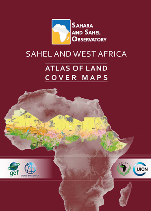
This regional atlas of land cover maps is meant to serve as a planning and decision-making tool in support of the Great Green Wall Initiative. It is intended for decision makers, development partners and the public audience. It was designed on the basis of satellite data of 30 meters resolution and covering 12 countries concerned by the Sahel and West Africa program - SAWAp (Benin, Burkina Faso, Chad, Ethiopia, Ghana, Mali, Mauritania, Niger, Nigeria, Senegal, Sudan, and Togo).

Through the cartography of land cover and the thematic synthesis describing the biophysical and socio-economic environment of the region, this product highlights the potentialities and assets of the Sahel and West African regions, while demonstrating their vulnerability and threats to the natural resources.

The reader could also fnd illustrations of the main ecosystems and their strategic role in socio-economic development and transboundary cooperation, to face global climate change.This publication is the result of close collaboration between oSS, CILSS, IUCN and the relevant technical departments within countries of the region, in the framework of the «Building Resilience through Innovation, Communication and Knowledge Services - BRICKS» project.

BRICKS
BRICKS Atlas
Land Management
Atlas
OSS
978-9973-856-87-6
2015

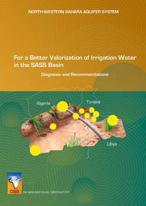
The North-Western Sahara Aquifer System (SASS) is a basin which extends over 1,000,000 km2 and is shared by three countries (Algeria, Tunisia, and Libya). The NWSAS water reserves are considerable yet generally of quasi fossil nature.

With the aim of enhancing sustainable development in the region, OSS in partnership with the three countries concerned, conducted, in a first phase, several studies that allowed a better hydraulic knowledge of the basin. However, given the growing water needs, notably relative to the agricultural sector, and the necessity to preserve a little renewable resource, OSS decided to undertake a study on water valorization in the basin.

The study was structured around two components:

  • A socio-economic component focusing on analyzing the operation modes of agricultural systems and especially on understanding the irrigator’s behavior by conducting several surveys realized with almost 3,000 farmers. This analysis enabled to identify the main constraints to water productivity, to measure their economic impacts and to elaborate operational recommendations for a better valorization of the basin’s resources.In addition, a hydro-economic model was developed with the objective of providing decision makers with an efficient decision-support tool to help them develop and implement agricultural development policies.
  • A second “demonstration pilots” component concerned the implementation of six demonstration NORTH-WESTERN SAHARA AQUIFER SYSTEMpilots by the farmers themselves dealing with different issues and problems faced by the three countries. The technical innovations introduced at the pilots level aimed at intensifying cropping systems, saving and valorizing water. The results obtained following two agricultural seasons helped confirm the existence of efficient technical solutions for the renovation and implementation of agricultural systems at the farm level.

The results obtained by the study allowed to conclude a number of recommendations for a sustainable development as well as for a better preservation of the basin’s resource.

SASS
For a Better Valorization of Irrigation Water in the SASS Basin
Water Resources Management
Etudes & Rapports
OSS
978-9938-933-06-2
2017

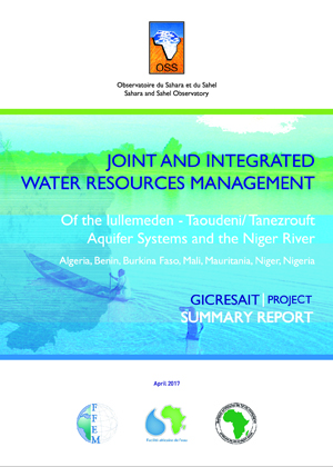
Surface and ground waters are a strategic asset for the West Africa sub-region and play a decisive role in the economic and social development in the countries of the region. Further studies should be conducted on the Iullemeden and Taoudeni/Tanezrouft Aquifer Systems (ITTAS) and how they function in order to support the development efforts of the ITTAS countries. Greater knowledge of the hydrological connection between the aquifer systems and the Niger River is a prerequisite to improving the management of the systems’ surface and groundwater resources.

It has been taken up in the GICRESAIT project, which was funded by the AWF and FFEM (total amount 1,728,000 €), and implemented by OSS from 2010 to 2016, with the participation of seven countries (Algeria, Burkina Faso, Mali, Mauritania, Niger and Nigeria).

Project outputs are :

  • Signifcant increase in knowledge about the Iullemeden and Taoudeni/Tanezrouft water resources, which together form a single transboundary aquifer system 
  • Identifcation of areas with a major groundwater potential
  • Creation of a regional database
  • Study of themes such as hydrogeology, land cover, aquifer recharge, piezometry, vulnerability to climate change, water-table pollution
  • Facilitate the adoption of a Memorandum of Understanding and a road map for the creation of a Consultation Mechanism for the joint management of the ITTAS shared groundwater resources.
GICRESAIT
GICRESAIT | Summary report
Water Resources Management
Plaidoyer
OSS
978-9938-933-02-4
2017

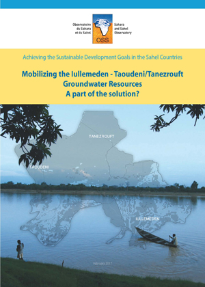
The groundwater resource of the Iullemeden-Taoudeni Tanezrouft Aquifer System shared by 7 countries (Algeria, Benin, Burkina Faso, Mali, Mauritania, Niger and Nigeria) is increasingly threatened in terms of quantity and quality. The GICRESAIT regional project "Integrated and concerted water resources management of the Iullemeden, Taoudeni/Tanezrouft and Niger River Aquifer Systems" (2010-2016) assessed the potential resources and ensured its monitoring and vulnerability to climate change. This work has highlighted the importance of the resource with no less than 7 high potential areas, and its low vulnerability to climate change. This should be part of the solution to the major challenges of groundwater mobilization in the countries concerned and help them achieve the main objectives of sustainable development.

GICRESAIT
GICRESAIT | Note for decision-makers
Water Resources Management
Plaidoyer
OSS
978-9973-856-15-4
2017

Monitoring and evaluation is a crucial component of the MENA-DELP regional and national projects activities.

In this framework, a series of regional workshops aimed at projects managers and the MENADELP national beneficiary institutions were conducted to accompany countries in designing their monitoring and evaluation systems. A technical support to the projects national teams for the development of indicators calculation and dissemination tools was also provided by the Sahara and Sahel Observatory.

Different monitoring and evaluation related themes and notions were tackled : 

  • Monitoring-evaluation concepts : monitoring-evaluation models, indicators and data, result-based management, etc … 
  • Monitoring-evaluation tools : Geographic Information System, remote-sensing 
  • GEF tools : tracking tools and Risk Assessment
  • Mapping and Collect Earth Tool (FAO)
MENA-DELP
MENA-DELP | Monitoring & Evaluation
Land Management
Studies & Reports
OSS
978-9938-933-05-5
2017

This atlas is meant to be used by decision-makers, development partners and the general public.
The purpose of the atlas, containing some 30 maps and graphs derived from an OSS regional study on the Iullemeden, Taoudeni/Tanezrouft Aquifer System, is to provide information on the availability and use of water resources in this region of seven countries (Algeria, Benin, Burkina Faso, Mali, Mauritania, Niger and Nigeria).
The atlas also offers the reader illustrations concerning water and the strategic role it plays in transboundary cooperation, food security, health, and socio-economic development to help cope with global changes.

GICRESAIT
GICRESAIT Atlas
Water Resources Management
Atlas
978-9938-933-16-1
2017

This Atlas includes land cover maps of Algeria, Egypt, Jordan, Morocco, and Tunisia. It is intended to decision-makers, development partners and the general public. 
Through some fifty maps and a brief multi-thematic explanation, this Atlas aspires to highlight the linkages between ecosystem services and populations livelihoods in desert areas and their potentialities.

The reader will also find illustrations about the major ecosystems of the project area and their role in transboundary cooperation and socio-economic development to address global changes.

MENA-DELP
MENA-DELP Atlas
Natural Resources Management
Atlas
OSS & IGAD
978-9973-856-59-3
2011

Several socioeconomic challenges have underscored the analysis of the water resources of the IGAD Sub-region and their uses. The countries of the sub-region are in an era of serious water shortages, which raises the spectre of looming water insecurity and the prospect of intensified competition for water in the future. The main challenge for the sub-region is, among others, how the water resources will be managed to meet rising food demand while at the same time protecting access of the poor and vulnerable people to the water that sustains their well-being.

This report is based on national data which were significantly complemented and where necessary upgraded with complementary data and information from regional and international sources. To achieve the desired results more effectively, the study focused the assessment and analysis of water use in the most important water-using sectors (this was largely dictated by lack or inadequacy of data for the other sectors), namely water uses in the domestic, agriculture and industrial sectors.

Two models (Water Use Model and PODIUMSIM Model) were examined for potential application in the quantification, assessment and projection of water use. Both models provide tools for simulation of alternative scenarios of future water demand with respect to the variations of the key demand drivers. While the full application of the models was proscribed by insufficient data, they nonetheless provided the conceptual framework used in this study to work projections and scenarios of future water demand.

Key results of the socioeconomic component included, firstly the detailed assessment of the key drivers of water demand in the sub-region, and secondly the projections of future water needs in various scenarios.

While several factors will drive the pressures on water resources, population and its dynamics will be the primary driver of all demands, including water demand (Chapter 6). High population growth is outstripping the pace at which water resources are being developed to meet the various socioeconomic needs of the sub-region. Associated with this is the low and unbalanced funding of the water and sanitation sector, with the tendency to concentrate water infrastructure in the urban centers and giving lower priority to rural areas.

The water issues of the sub-region are exacerbated by the fact that over 75% of the sub-region is classified as ASAL – these areas which are mostly water stressed and have low agricultural potential.

This report made recommendations (i) on population and its impacts on water demand; (ii) on adjustment of water demand and food security; and (iii) on data and data sharing

IGAD
Socioeconomic component
Water Resources Management
Studies & Reports
OSS & IGAD
978-9973-856-62-3
2011

The Water Resources Modeling section conceptualized and developed of a hydrologic model for water resources assessment of the identified transboundary basins in the IGAD region. Despite the lack of data (meteorological data, daily stream flows, etc.) which limited the effective calibration of the model, several attempts were carried out to ensure effective estimation of the Water resources for the IGAD basins.

The evaluation of the hydrological performance of the SWAT model on a daily/monthly time resolution for the IGAD basins faced large deficiencies in the database, especially regarding daily observations - a number of observations are missing. Model calibration requires the availability of reliable flow data for major rivers within the basins in both temporal and spatial terms. These data were not available for the current study. Consequently, the study used the available data from other sources which are sparse and not free of errors. Furthermore, the model helped clearer understanding of the hydrological response of several IGAD catchments and the potential use. A simple sensitivity study helped reduce the dimensionality of the calibration challenge.

The Water Resources Modeling of the Six (6) identified transboundary river basins (Danakil, Gash-Baraka, Turkana-Omo, Ayesha, Juba-Shebelle and Ogaden) represent a first attempt to comprehensively model their water resources within the IGAD sub-region. For most of the basins, the estimated available annual water resources were in good agreement with results from other studies. As such the estimates for all basins need further investigations before they can be used as a basis for comprehensive decisions about the basins. There is need for collection of additional data from the member countries as soon as a mechanism for data sharing can be implemented.

The model assessed the available water resources for the IGAD transboundary basins to 182.8 km3 (111.3 km3 for Surface water and 71.5 km3 for Groundwater). Additional data especially daily stream flows at several locations in the basin, are required to improve the water resources simulations.

IGAD
Water resources modelling componenet
Water Resources Management
Studies & Reports
OSS & IGAD
978-9973-856-63-0
2011

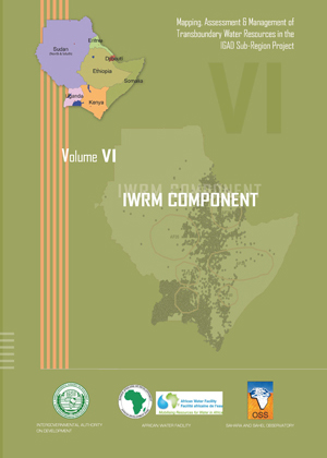
Several transboundary river basins and aquifer systems have been identified in the IGAD sub-region. The basis of Integrated Water resources Management (IWRM) is that different uses of water are interdependent. These uses tend to have cross-border implications. Then implementing IWRM in transboundary basins provides a viable mechanism for addressing the challenges. The problem for most countries is the long history of unisectoral development. Water development and management should be based on a participatory approach, involving users, planners and policymakers at all levels.

It appears that modeling water resources management in the IGAD sub-region is challenging. Water resources are sparsely distributed in space and highly variable in time. Additionally, data on water demand and usage are scarce and can be unreliable in areas where they exist. Thus, the need for Water Evaluation and Planning were obvious.

The WEAP model was used for modeling water resources management in the IGAD sub-region. It allows to analyse the effect of polices interventions (both structural and non-structural) on water resources availability and demand in a region. The demand and supply data were collected at national and international level and used. The model was then successfully developed for six transboundary river basins in the IGAD sub-region. Alternative water management scenarios were simulated. The results have shown very optimistic results, ensuring that the IGAD sub-region has considerable water resources which, if well managed, can serve the needs of the basin inhabitants.

The implementation of IWRM is complicated by lack of political will, lack of institutional and legal tools and also lack of human resources capacity. An overall plan is required to envisage how the transformation can be achieved and this is likely to begin with a new water policy to reflect the principles of sustainable management of water resources. To put the policy into practice is likely to require the reform of water law and water institutions. This can be a long process and needs to involve extensive consultations with affected agencies and the public.

Training of model users will help in ensuring that the use of the model is integrated in their daily work and a critical mass of professionals can be built to implement the model at Transboundary basin level. The IWRM models were built from the data available at the time of analysis. The main idea behind the development of the models was the models will evolve over time as more information about water resources, demand and other policy issues becomes available.

IGAD
IWRM Composnent
Water Resources Management
Studies & Reports