Publications

Ahmed Aïdoud
978-9973-856-32-6
2008

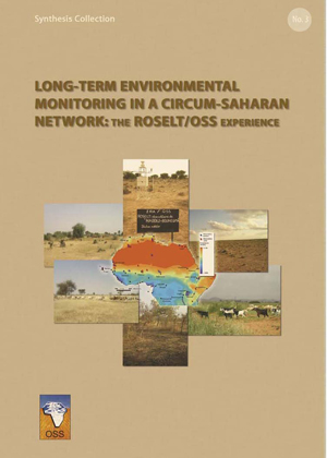
The long term ecological surveillance observatories network (Réseau d'observatoires de surveillance écologique à long terme, ROSELT/OSS) of the Sahara and Sahel Observatory (OSS) consists of a cluster of observatories which span circum-Saharan Africa and share a common focus on the issue of desertification. Since its inception, the network has been addressing the challenge of improving the collective knowledge on desertification; a scourge that has complex linkages with the issues of biodiversity and climate change.

Over the last ten years, OSS has put in place standardised protocols of data collection and processing in the circum-Sahara with a view to apprehending the trends characterising the evolution of the ROSELT/OSS observatories’ ecological and socio-economic systems. In this part of Africa, where rainfall decrease is chronic in the Sahel and spreading to North Africa, population growth and land use change—due to overgrazing or the conversion of rangelands into croplands—have adverse impacts on the environment. In addition, sand encroachment constitutes a serious threat to irrigated farmland. Biodiversity is equally affected, as several species face the danger of extinction due to human activities.

In the south of the Sahara, natural resource depletion is often among the causes for migration towards the zones where climate and life conditions are more favourable. This forced displacement is significantly less severe in the north of the Sahara where policies put in place by governments in the sub-region encourage sedentary lifestyles.

Based on the scientific reports of the ROSELT/OSS observatories, this publication provides an overview of the data management systems and the decision-support tools developed across the ROSELT/OSS network. It also highlights difficulties pertaining to environmental surveillance in North and West Africa.

ROSELT
ROSELT/OSS experience
Environmental Monitoring & Biodiversity
Studies & Reports
OSS
978-9973-856-56-2
2011

The Transboundary Diagnostic Analysis recommended by the Global Environment Fund has been applied to transboundary waters of the Iullemeden Aquifer System (IAS) shared by Mali, Niger and Nigeria. It allowed identifying three major transboundary risks namely (1) the reduction of resource availability, (2) degradation of water quality, and (3) the impact of variability / climate change.

Recognizing the need for a regional approach for shared groundwater management to face those transboundary risks for which efforts of one country cannot find a sustainable solution, the three countries committed themselves in a process of joint water resources management. Through this process, they plan to mitigate the negative impacts of these risks on their shared groundwater resources.

Through this process, policy and strategy elements for mitigating these risks have been developed as well as communication tools in order to promote an early warning system, a participatory approach to better manage these risks, and finally a mechanism for monitoring transboundary water resources. A Memorandum of Understanding with its roadmap was adopted by the three countries for establishing a consultation mechanism, a legal consultation for a joint management and equitable and rational of their common resources.

GICRESAIT
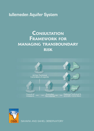
The consultative framework for managing transboundary risks
Water Resources Management
Studies & Reports
OSS
978-9973-856-29-6
2008
GICRESAIT
Iullemeden Aquifer System
Water Resources Management
Advocacy
OSS
978-9973-856-54-8
2011

The Transboundary Diagnostic Analysis recommended by the Global Environment Fund has been applied to transboundary waters of the Iullemeden Aquifer System (IAS) shared by Mali, Niger and Nigeria. It allowed identifying three major transboundary risks namely (1) the reduction of resource availability, (2) degradation of water quality, and (3) the impact of variability / climate change.

Recognizing the need for a regional approach for shared groundwater management to face those transboundary risks for which efforts of one country cannot find a sustainable solution, the three countries committed themselves in a process of joint water resources management. Through this process, they plan to mitigate the negative impacts of these risks on their shared groundwater resources.

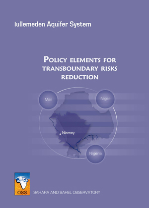
The policy and strategy elements to mitigate these risks have been designed to help countries in formulating their policies and strategies accompanied by an action plan in the medium and long term. These elements include the political, socio-economic and environmental dimension. They were developed by conducting the analysis of solutions for each risk examined according to (a) hydrogeological and environmental (b) socio-economic, and (c) legal and institutional dimensions.

To develop this policy at regional level, national legislation on water should be updated taking into account the achievements of the project in terms of the methods and management of transboundary groundwater regimes.

GICRESAIT
Policy elements for transboundary risks reduction
Water Resources Management
Studies & Reports
OSS
978-9973-856-55-5
2011

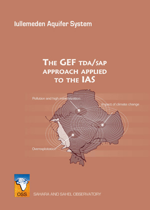
The Transboundary Diagnostic Analysis recommended by the Global Environment Fund has been applied to the transboundary groundwater of the Iullemeden Aquifer System shared by Mali, Niger and Nigeria. The Transboundary Diagnostic Analysis is a scientific and technical fact-finding analysis based on technical and scientific information available and verified, to examine the state of the environment and the causes of its degradation, focusing on transboundary problems without ignoring national concerns and priorities.

Three major transboundary risks were identified: (1) reducing the availability of the water resource, (2) degradation of water quality, and (3) the impacts of climate variability/change. This required the development of a database with more than 17000 water points, a Geographic Information System and a mathematical model. This model has among other things, highlighted the overexploitation of the resource since 1995 and the interconnection between the Niger River and the aquifers. The immediate, root and underlying causes (including the governance of water) of these risks were analyzed.

The Transboundary Diagnostic Analysis is a participatory approach involving all stakeholders concerned with the issue. To this end, it contributes to strengthen solidarity and confidence between them.

GICRESAIT
GEF TDA/SAP approach
Water Resources Management
Studies & Reports
OSS
978-9973-856-30-2
2008

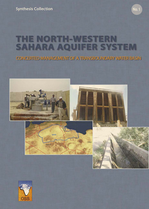
This publication presents the main obtained results from the implementation ofthe different components of the project: hydrogeological data collection, analysis, and synthesis; elaboration of a common database and an informationsystem; development and exploitation of the NWSAS mathematical model andthe regional sub-models; establishment of a consultation mechanism for thebasin joint management; socio-economic study; and environmental study.

SASS
The North-Western Sahara Aquifer System
Water Resources Management
Advocacy
OSS
2003

The present document sets out the principal results obtained through the implementation of the various components of the NWSAS project: Acquisition, Analysis and Synthesis of Hydrogeological Data; Elaboration of the Shared Database and of the Information System; Development and Exploitation of the NWSAS Mathematical Model; and Installation of the Dialogue Mechanism concerning the basin's shared management.

SASS
Main Results
Water Resources Management
Advocacy
OSS
2003
SASS
SASS observation networks
Water Resources Management
Advocacy
OSS
2003

This note has taken into consideration the whole works achieved from July 1999 up to December 2002, for the setting up of the different components of the SASS Project, namely: the Acquisition, Analysis and Synthesis of the hydrogeological data; the Elaboration of the Joint Data Base and of the Information System; the Development and the Exploitation of the SASS Mathematic Pattern; the Setting up of a Concertation Mechanism for the joint management of the Basin.

SASS
Results of the first stage of sass
Water Resources Management
Advocacy
OSS
978-9973-856-52-4
2011

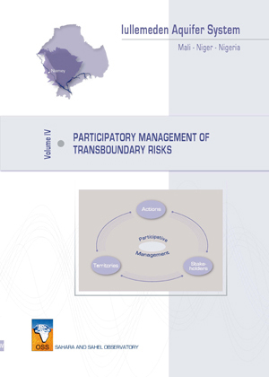
Participatory management of hydrogeological risks is a policy of shared vision very effectively to prevent their negative impacts on the transboundary groundwater resources. It requires the involvement of all stakeholders in finding a sustainable solution in mitigating these impacts.

To achieve this shared vision, elements of a strategy for managing transboundary risks that threaten groundwater of the Iullemeden Aquifer System and a short, medium and long term programme, have been proposed.

The development of these strategic elements identified stakeholders involved in the basin, assessed their degree of awareness for the future of these resources, and their common interest in the establishment of this policy of shared vision.

Taking into account the ongoing environmental actions and measures in the concerned countries and the implementation of water policies in order to mitigate the degradation of natural resources, especially groundwater, tools for managing hydrogeological risks of the Aquifer System have been suggested to increase awareness among stakeholders.

GICRESAIT
Participatory management of transboundary risks
Water Resources Management
Studies & Reports