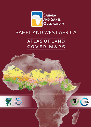
This regional atlas of land cover maps is meant to serve as a planning and decision-making tool in support of the Great Green Wall Initiative. It is intended for decision makers, development partners and the public audience. It was designed on the basis of satellite data of 30 meters resolution and covering 12 countries concerned by the Sahel and West Africa program - SAWAp (Benin, Burkina Faso, Chad, Ethiopia, Ghana, Mali, Mauritania, Niger, Nigeria, Senegal, Sudan, and Togo).
Through the cartography of land cover and the thematic synthesis describing the biophysical and socio-economic environment of the region, this product highlights the potentialities and assets of the Sahel and West African regions, while demonstrating their vulnerability and threats to the natural resources.
The reader could also fnd illustrations of the main ecosystems and their strategic role in socio-economic development and transboundary cooperation, to face global climate change.This publication is the result of close collaboration between oSS, CILSS, IUCN and the relevant technical departments within countries of the region, in the framework of the «Building Resilience through Innovation, Communication and Knowledge Services - BRICKS» project.

